SEATTLE — Bet you did not know there was an earthquake on Mount Rainier last week.
But equipment installed high on the mountain’s snowy flanks can detect even the tiniest of disturbances, including the mountain’s recent little shake, registering a magnitude of just 0.1 — puny as earthquakes go. And it measures the location with pinpoint accuracy.
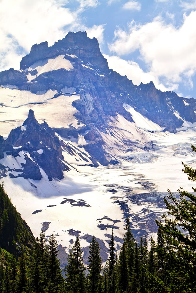
Equipment was installed about five years ago to feed a continuous stream of real-time data to scientists who monitor what is one of the most seismically active volcanoes in the Cascades.
Scientists were on the mountain this month, between 7,000 and 11,000 feet in elevation, for the regular service and replacement of batteries and other equipment. Fourteen people helicoptered or hiked in for the work at six sites.
The instruments help engage in detail with the mountain’s many moods. Any slight tremor is registered by seismometers. Tilt meters track the tiniest bulge or cratering of the mountain’s surface. And a global positioning system network enables scientists to pinpoint any activity the sensors detect.
Why bother? Because the mountain, with its deadly potential, is so close to so many people. Mount Rainier carries as much snow and ice on its flanks as all the other Cascades volcanoes combined. Even a small amount of activity can mobilize all that loose rock and surface water into a devastating mud flow called a lahar.
The Electron Mud Flow, a landslide in the early 1500s, spewed a river of mud all the way to Puget Sound, notes Seth Moran, seismologist with the U.S. Geological Survey’s Cascades Volcanic Observatory in Vancouver, which monitors the volcano with the University of Washington’s Pacific Northwest Seismic Network.
Today, a similar lahar could bury Puyallup, Buckley, Orting and Sumner. But the sensing equipment, Moran noted, would provide days or even weeks of early warning of any potential catastrophe.
Bulges in the mountain’s surface, for instance, would indicate rising magma, and swarms of earthquakes would signal a more restive mood.
But lately, “It’s steady as she goes,” Moran said.
Now that the detection equipment has been serviced, it should be good for another five years. If the big one comes, it’s ready.
The first sensing equipment on Mount Rainier was installed by the PNSN at the university in 1969.
Today, there are hundreds of remote sensors deployed on Pacific Northwest volcanoes.
It’s a far cry from the 1980s, when scientists measured ground swelling by hammering rebar into the ground to track widening fissures with measuring tape. The equipment in use today can remotely detect changes in the surface of the Earth as small as a centimeter.
And that, said Carolyn Driedger, hydrologist and outreach coordinator for the USGS Cascade Volcano Observatory, can make all the difference. “We cannot afford to play catch up just as an eruption begins.”